
When we woke up, the rain had stopped. While the sky was still cloudy, it was cold, but no rain! The campground road was still very muddy, so we didn’t venture around too much other than to dump garbage and toss our grey water after washing up. We laugh as we look at the weather and think of our grandson Angus, just starting to talk… he get the number of syllables right, but whether it’s a cloudy day, a sunny day or a rainy day it’s a day day day! That became our standard descriptor!
With a hot breakfast in our tummies, we started off for Tombstone Territorial Park once again. We only had about 120 km to go ( after yesterday’s 500, it seemed like a walk in the park!). With spots of blue in the sky, we set out very encouraged!
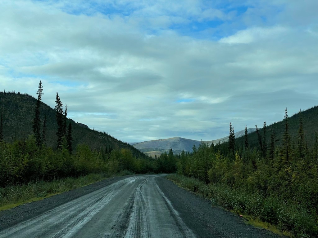
The road conditions were worse than when we came because of the rain, yet the sun made things sparkle somewhat. It’s always interesting to reverse your course because the scenery you’ve passed through takes on new shapes.
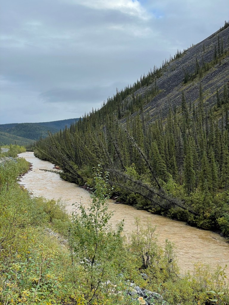
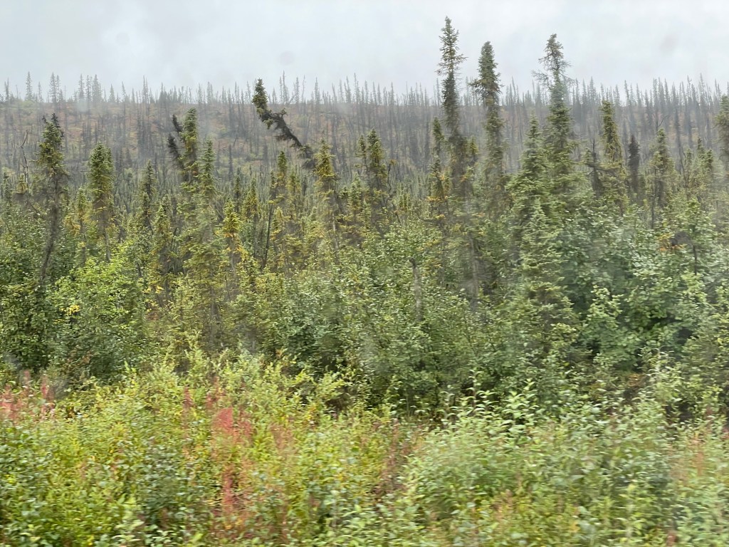
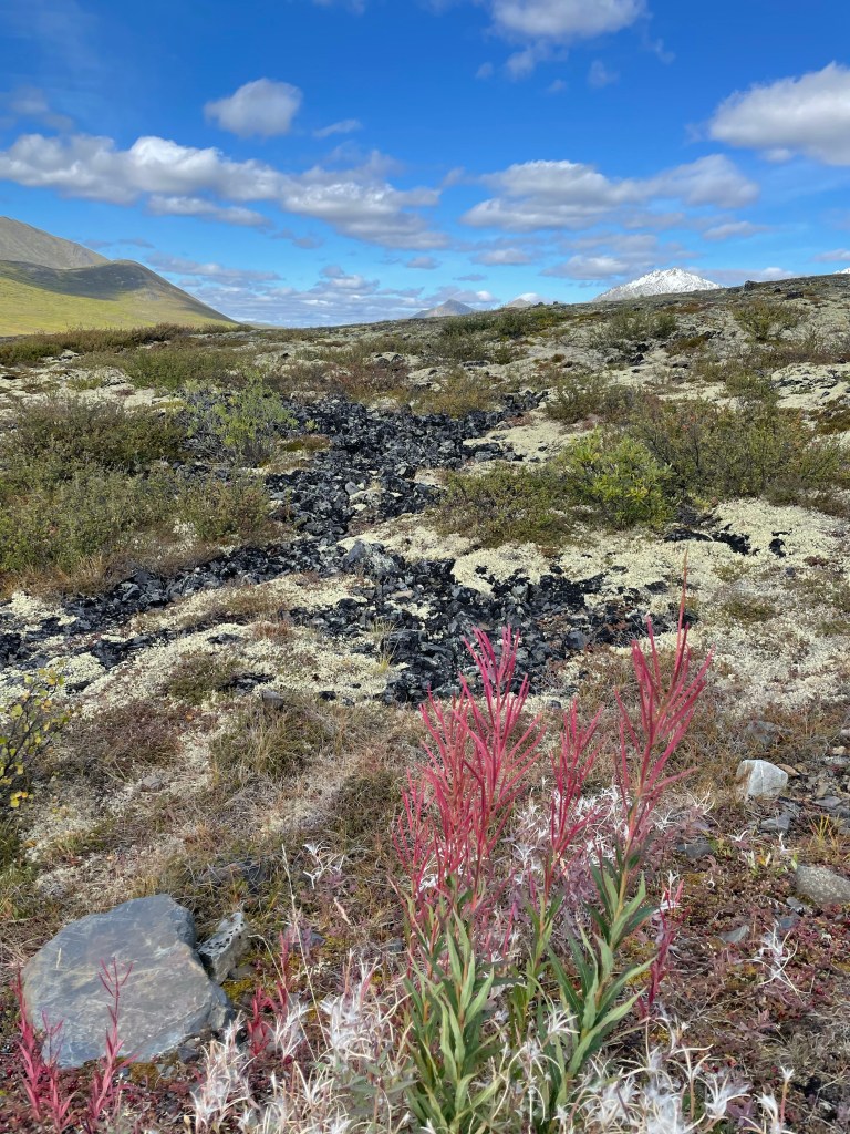
We followed Engineer Creek quite a way. It’s interesting to look at the trees. Some of the spruce are tilting as if a strong wind has blown them over at an angle. It’s actually the product of melting permafrost, where the shallow root systems don’t have the solid frozen ground to hold them in place and they begin to fall over. The term they use here are drunken trees!
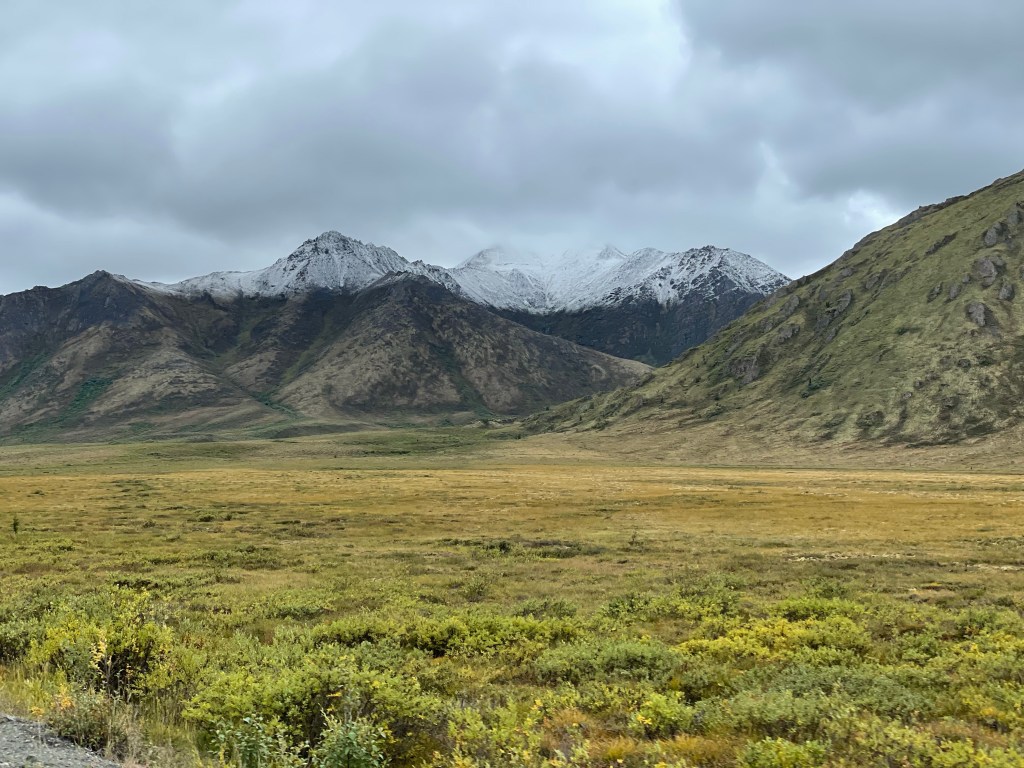
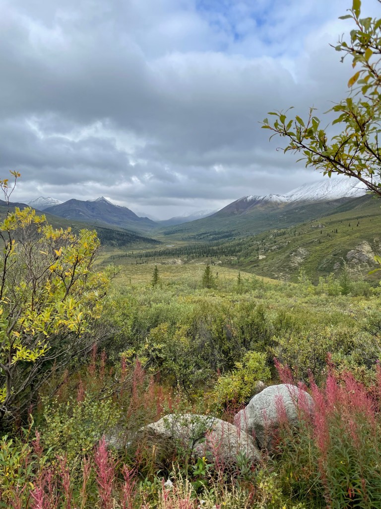
As we approached the Taiga range of mountains ( the range that crosses the park) we could see cloud cover and snow at the top of the mountains! In 2 short days since we left, the mountains are covered in snow! It has been cool and today, I’m guessing the daytime temp was 9 or 10. The low tonight in Dawson City (80 km south of here and not as high an elevation) is -2C!
We arrived at the campground, having been warned by the park ranger yesterday that it might be full, and started our search for a site. Even though we were told we could camp in the visitor centre parking lot( complete with toilets snd picnic tables, we thought we’d try the campground first. Low and behold, the site we had the last time was open! We pulled right in and booked for 2 nights, hoping to get some nice weather for hiking.

As it was, the overcast skies brought intermittent rain. We decided to make a warm lunch ( I had made soup the day before) and then head over to the visitors centre to see what was happening. We again enjoyed a hot cup of berry and Labrador tea. Delish on a cold and wet afternoon. We got the latest weather forecast, and talked to them about road conditions. While it seems to us that they never grade the roads, they are at it constantly. The road surface and permafrost are very susceptible when drivers reek havoc in the rain. We saw 3 cars in the ditch over the 24 hours of driving. Even though the posted speed is up to 90 kph, we would be driving at closer to 60 if the road was ok and much much slower when we encountered washboard and potholes. Yesterday, we drove about 500 kms, and it took us about 9.5 hours.
As we left the centre, the rain started up once again… even when there were patches of blue sky. We decided to stay put for a while. It was my turn to clean off the back window, and then I picked up my paints to do a sketch of Monolith Mountain, here in the park.
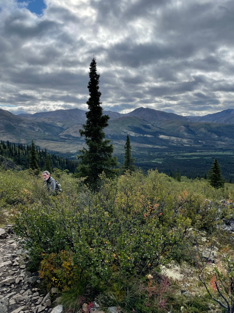
The weather seemed to clear and by 4 we decided to try a hike called Goldensides. This hike started a couple of kms north of the park so we headed out snd turned up what we thought was the right road. Even though it wasn’t, we still hiked up the mountainside and enjoyed the views. We also spotted short short bushes laden with blueberries! Apparently they are having a bumper crop this year! Next time, I bring a container!!

The intermittent rain plus the cool breeze convinced us it was time to turn back to camp. Dan did his wood splitting ( ever the optimist that it will be clear enough to have a fire) while I prepped dinner. Tonight’s fare was a large Greek salad topped with grilled chicken breasts. I must say the RV frig is a real joy. We are still enjoying fruit and veg that we purchased a week ago! And here I was worried about having fresh fruits and veg while up on the Dempster!
After dinner, we played another round of crib. I must say the cards aren’t coming to me the last couple of days! Oh well, the weather seems to be clearing, so perhaps we’ll get a nice hike in tomorrow. We have Grizzly ridge on our list for then.
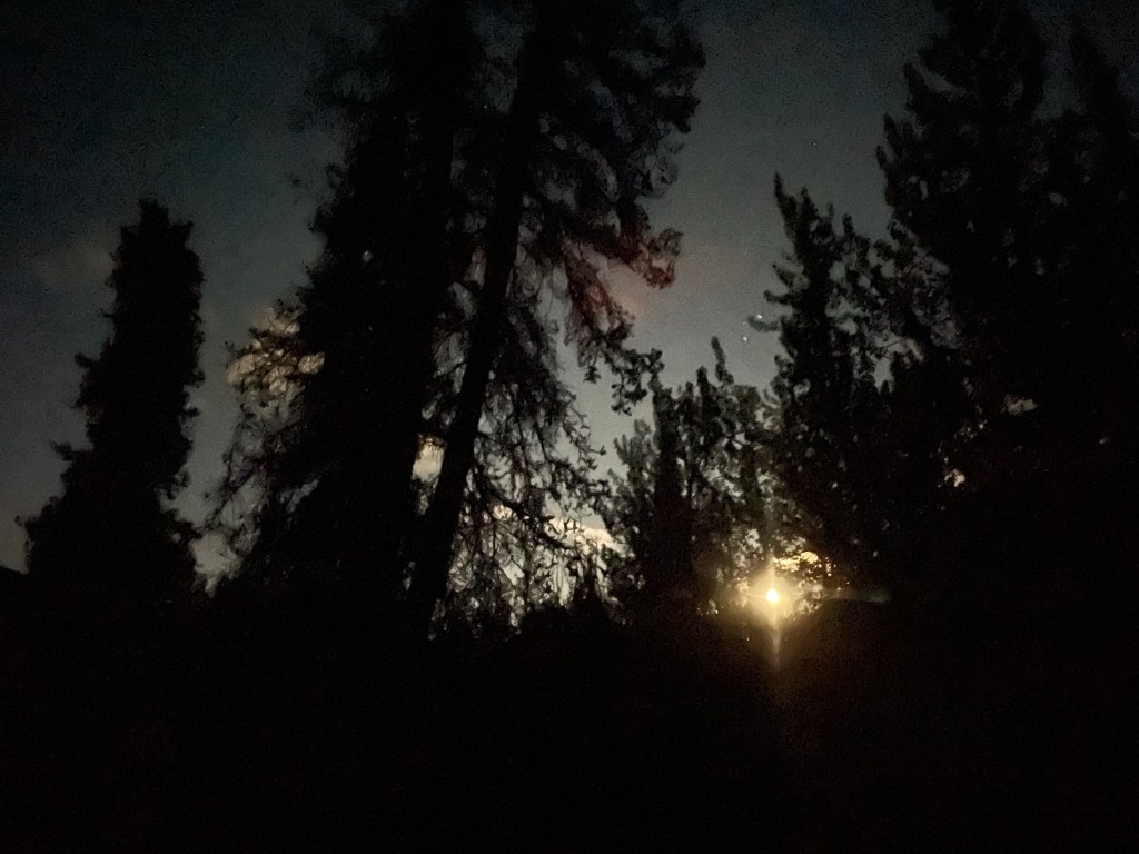
As I write this, I’m looking out at the clouds thinning. Maybe tonight will be a clear enough night to see the northern lights! I’ll set my alarm just in case!
Time to sign off for today. Until tomorrow, stay safe!
Day 29, Tombstone Adventure
I set my alarm and was up at 2 am to try and see some northern lights. I saw a bit of a glow on the horizon to the north. When I looked out the south window to see if the sky was indeed clear I saw a full moon, or close to it. Not the best for seeing northern lights…
I managed to get back to sleep, and was well rested for the day. Today we planned to do Grizzly Ridge hike. We made a hearty breakfast and packed lunches and we were off on this beautiful day day day!
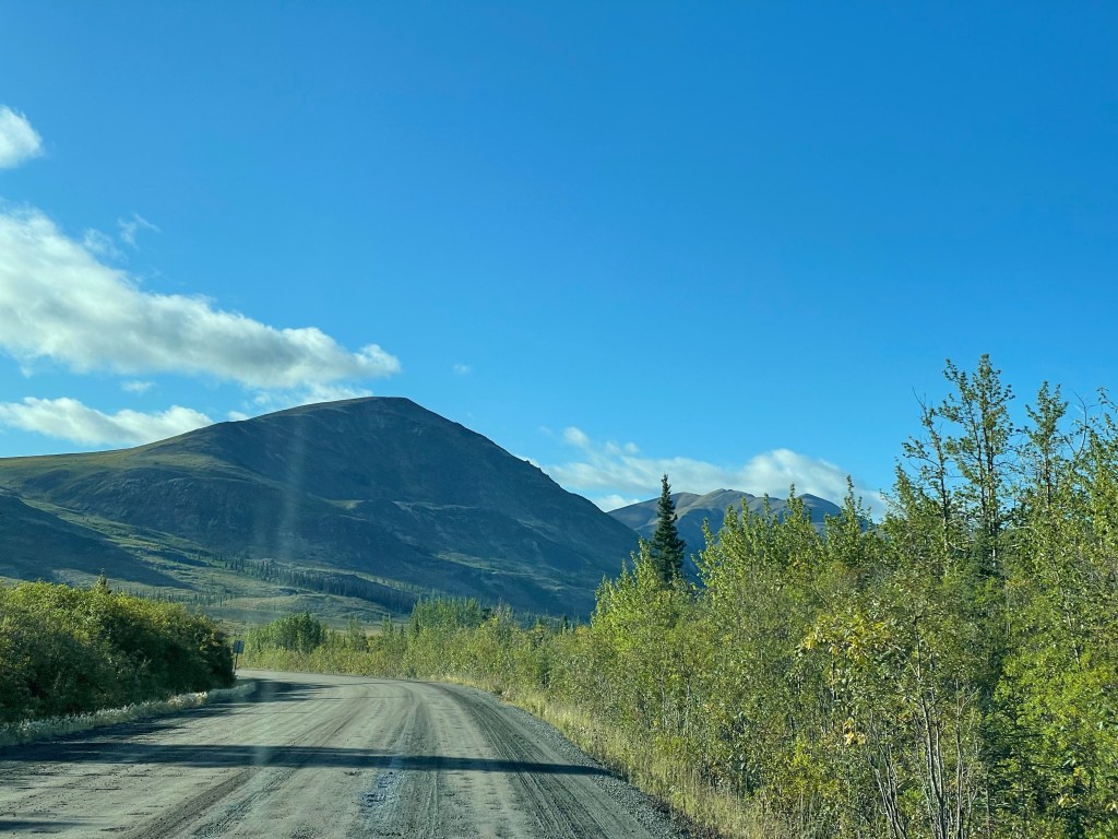
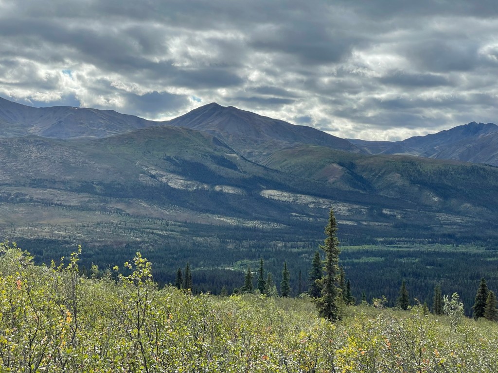
The drive was glorious, showing off the Taiga mountains in the park. About 14 km south of the campground we turned off to the hike access point. Being a Sunday, and a sunny day the parking lot was almost full when we got there.
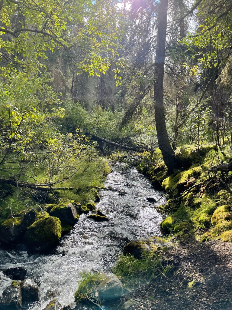
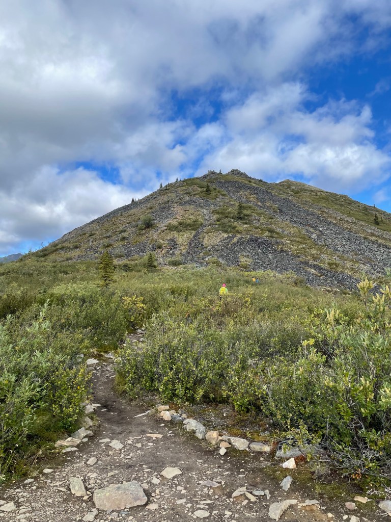
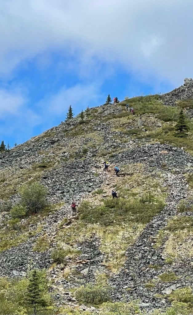
The hike started in the woods and the gradual climb through muddy paths riddled with tree roots became steeper. We soon walked within sight of the Cairnes Creek whose song had been encouraging us along.
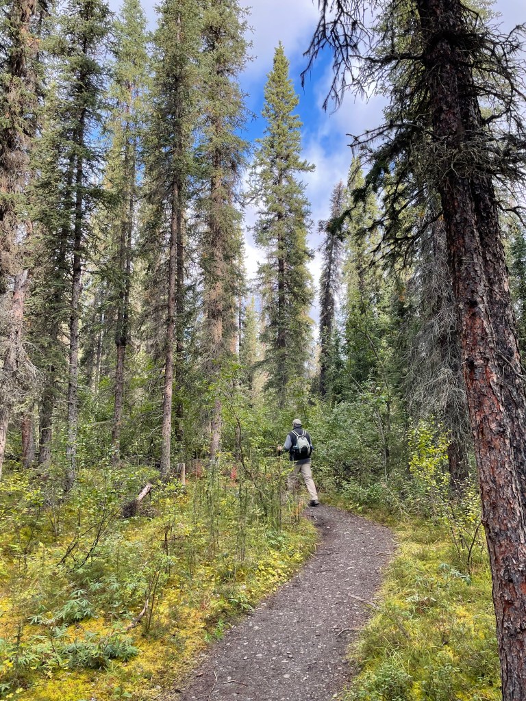
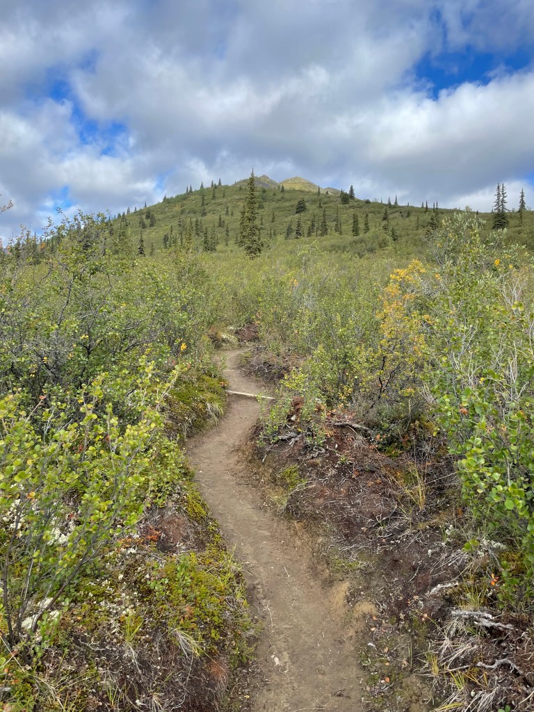
Back on the trail, we continued to rise until the trees began to thin. We traded tree roots for rocks on our path as it continued to get steeper.
Soon we were above the tree line, and the path, which we thought would begin to level out got steeper once again!
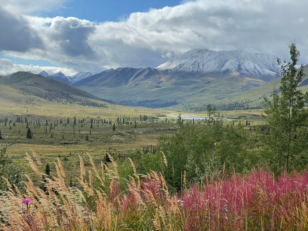
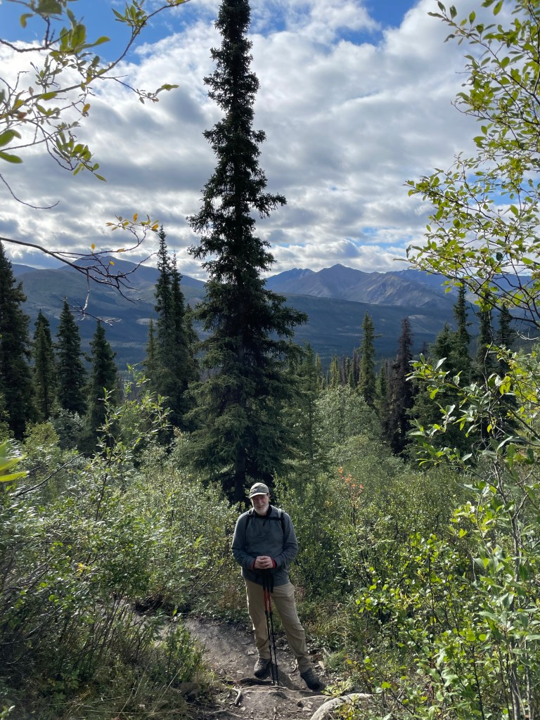
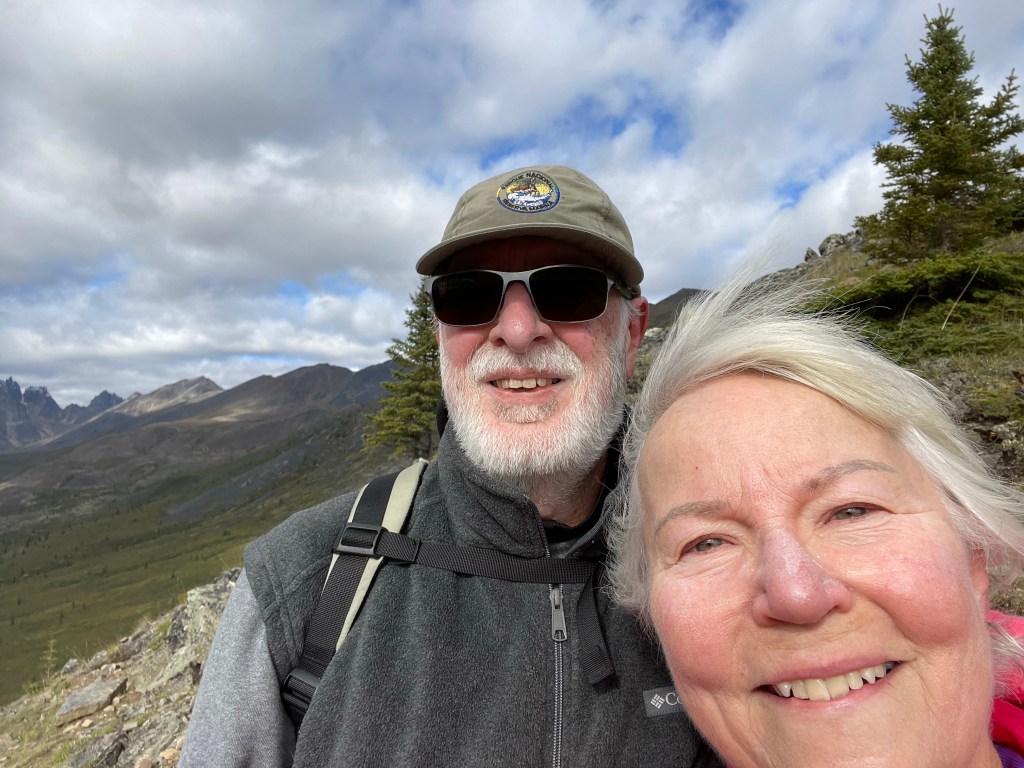
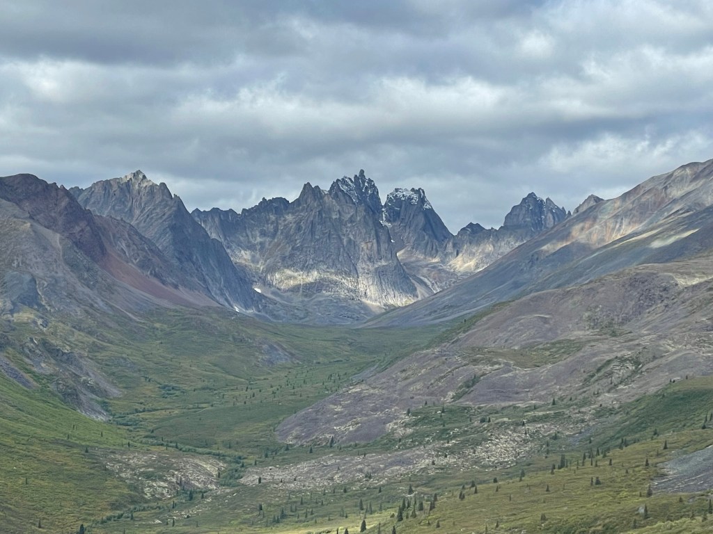
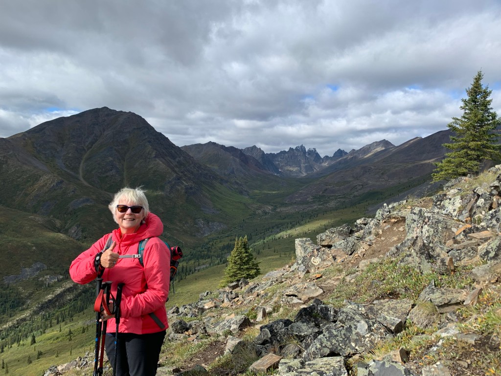
At last we came to the lookout point where we first spotted Monolith Mountain. Dan was tuckered at this point so wanted to sit. I said sure, but a few others had encouraged us to climb to the top of the ridge to view the valley below the mountain. I was up for the added climb, and Dan said he would join me. Another .5 km and probably 100-200 m vertical and we were at the top. It was glorious! And windy!
Some people we met up with over lunch back at the first outlook were backpacking full gear in and only had another 8 km to go to get to Grizzly Lake. A spectacular tent site (10 in total) plus a cookhouse, toilet and bear locker for food. We’ll outfitted for the exhausted when they reach their site!
After a lovely lunch and rest, we headed back down the hill, probably slower than when we came up… certainly when walking over the scree.

We made it safely back to our car and headed back towards the campground. Since it was our last day here, I asked Dan if we could drive to the Goldensides hike entry point. He did do reluctantly as he thought I wanted to do the hike. I actually wanted to see the viewpoint from the parking lot snd then hike up on the hillside ( not far) to see if I could pick some blueberries.
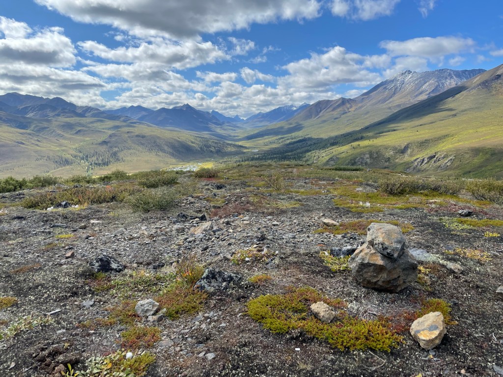
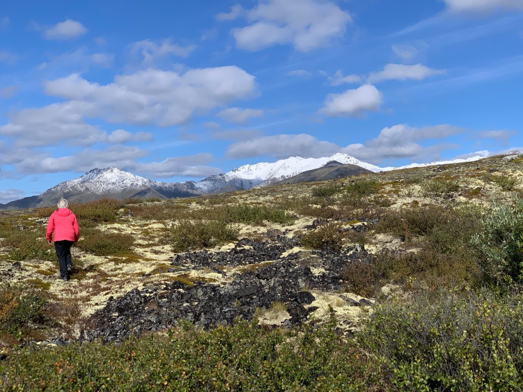
No blueberries to be had here, but the vistas were beautiful!
Back to the car we headed and back then to the camp sight. Dan had been busy splitting wood for a campfire, so he got that started when we got back and we enjoyed a snack and isotonic beverage in front of a roaring fire ( yes, clear day, but still cold for August…maybe 14-15C).
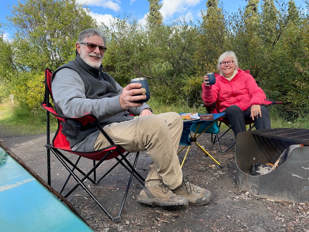
After our snack we played some cards and then it was time to get dinner ready. Tonight was steak, Caesar salad, and fried onions and potatoes, yummy!
A few games of cards and we were ready for bed. So thankful to have had this beautiful day for our last day in this magnificent park!
Tomorrow, we head back to Dawson for a night, and then further south, close to the Alaska border… but that’s for another story. Until then, stay safe!

Leave a comment